Data and platforms
BioDispersal
BioDispersal
BioDispersal is a QGIS 3 plugin 3
BioDispersal is a QGIS plugin that allows you to model ecological continuities by calculating potential dispersion areas based on the permeability of environments.
Aperçu
Its purpose is to compute ecological continuities based on environments permeability and animals potential dispersal areas. BioDispersal has been designed as a 7-steps plugin from raw data preprocessing to the final dispersal areas computation.
Parameters settings can be saved to and loaded from a configuration file.
Parameters settings can be saved to and loaded from a configuration file.
Aides et Documentations :
BioDispersal - Installation
BioDispersal requires QGIS 3.4 (or superior version) and GRASS. Go to plugins menu, Install/manage plugins, type BioDispersal and click on Install button.
A dear icon should appear. Otherwise, it is available in plugins menu.
A dear icon should appear. Otherwise, it is available in plugins menu.
BioDispersal - Documentation
BioDispersal - Example
BioDispersal - Steps
BioDispersal - Liens utiles
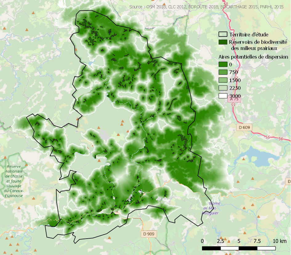
Below is an example of dispersal map created by BioDispersal
BioDispersal has been developped by UMR TETIS - IRSTEA, on mission for the French ecological network resource center (driven by French ministry of ecology).

Contacts
- Mathieu Chailloux Développeur / géomaticien (Inrae/UMR TETIS)
- Jennifer Amsallem Chercheur (Inrae/UMR TETIS)


